Patio Covers Across Yavapai County
Twenty communities, from Black Canyon City at 2,083 feet to Williamson Valley at 5,053. Eight run their own building departments. Twelve are unincorporated and go through the county, where a 400 square foot ramada needs no building permit at all.
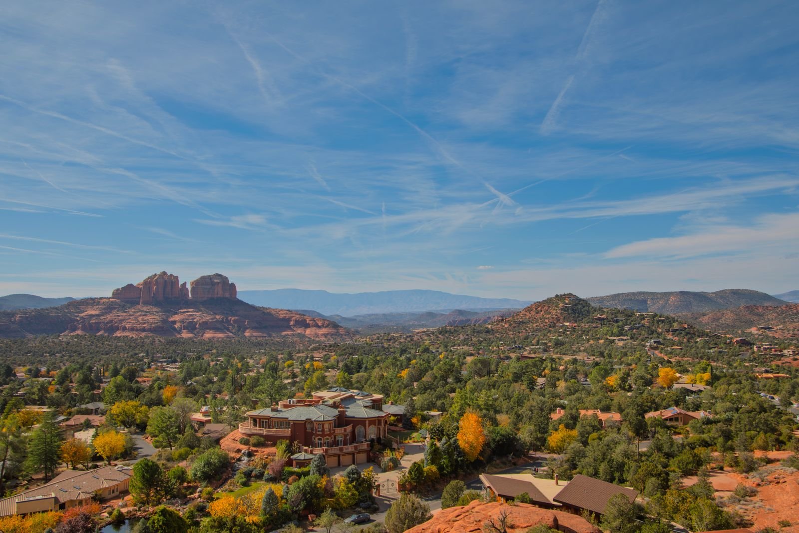 Red rock country above a valley
Jurisdiction, then elevation
Jurisdiction is the one people get wrong, and the sharpest example on this list is seven miles long. Sedona is an incorporated city that permits its own work on both sides of a county line. The Village of Oak Creek, seven miles south in the same red rock, is unincorporated and goes through Yavapai County, where the detached-structure exemption applies.
Elevation is the one that changes the structure. Frost line depth in unincorporated Yavapai County is 12 inches below 4,500 feet, 18 inches at or above 4,500 feet and 24 inches at or above 6,500 feet. Across the twenty communities here that spans every band the county publishes.
| Elevation | Frost line depth | Weathering | Communities on this site |
|---|---|---|---|
| Below 3,500 ft | 12 inches | Negligible | Congress, Black Canyon City |
| 3,500 to 4,500 ft | 12 inches | Moderate | Cordes Lakes, Bagdad, Spring Valley, Village of Oak Creek, Paulden, Skull Valley |
| 4,500 to 6,500 ft | 18 inches | Moderate | Mayer, Wilhoit, Yarnell, Williamson Valley |
| At or above 6,500 ft | 24 inches | Moderate | The high Bradshaws and Mingus Mountain country |
Unincorporated Yavapai County, from Yavapai County Ordinance 2025-4, adopted 1 October 2025. The City of Prescott uses 18 inches below finished grade throughout the city limits.
Communities, elevation and authority
| Community | Elevation | Frost line | Permits issued by |
|---|---|---|---|
| Prescott Valley | 5,063 ft | 18 inches | Prescott Valley |
| Chino Valley | 4,734 ft | 18 inches | Chino Valley |
| Dewey-Humboldt | 4,580 ft | 18 inches | Dewey-Humboldt |
| Paulden | 4,364 ft | 12 inches | Yavapai County |
| Mayer | 4,695 ft | 18 inches | Yavapai County |
| Cordes Lakes | 3,714 ft | 12 inches | Yavapai County |
| Wilhoit | 4,590 ft | 18 inches | Yavapai County |
| Skull Valley | about 4,265 ft | 12 inches | Yavapai County |
| Camp Verde | 3,094 ft | 12 inches | Camp Verde |
| Cottonwood | 3,461 ft | 12 inches | Cottonwood |
| Clarkdale | 3,586 ft | 12 inches | Clarkdale |
| Jerome | over 5,000 ft | 18 inches | Jerome |
| Sedona | 4,360 ft | 12 inches | Sedona |
| Village of Oak Creek | 4,105 ft | 12 inches | Yavapai County |
| Black Canyon City | 2,083 ft | 12 inches | Yavapai County |
| Spring Valley | 3,944 ft | 12 inches | Yavapai County |
| Williamson Valley | 5,053 ft | 18 inches | Yavapai County |
| Yarnell | 4,780 ft | 18 inches | Yavapai County |
| Congress | 3,002 ft | 12 inches | Yavapai County |
| Bagdad | 3,793 ft | 12 inches | Yavapai County |
Frost line from the Yavapai County elevation bands. The eight incorporated jurisdictions set their own criteria; the figure shown is the county band their elevation falls in, not necessarily the number they apply.
Every community
The rules behind the map
Jurisdiction decides who issues the permit and what is exempt. Elevation decides what the structure has to carry. Both are on the permits page.